
LAKE GARDA mountain range map
by Outdooractive GmbH & Co. KG
Version 2.0 💾 1 Mb
📅 Updated May 23, 201

Features LAKE GARDA mountain range map
Offline topographic map of the mountains surrounding Lake Garda, as defined by the European Alpine Club (AVE: http://goo.gl/JXGBIe), provided to you by http://alpenkarte.eu.
The map includes the region between Trento and the southern end of Lake Garda, along with the mountains to the East of the Lake all the way to Lake Idro and the Monte Baldo mountain range to the West.
Suitable for planning summer outdoor activites such as hiking, rock climbing or mountain biking.
The comprehensive map of this region can be viewed under the following link: http://alpenkarte.eu/smartphone_hiking_map/Gardasse+Berge?
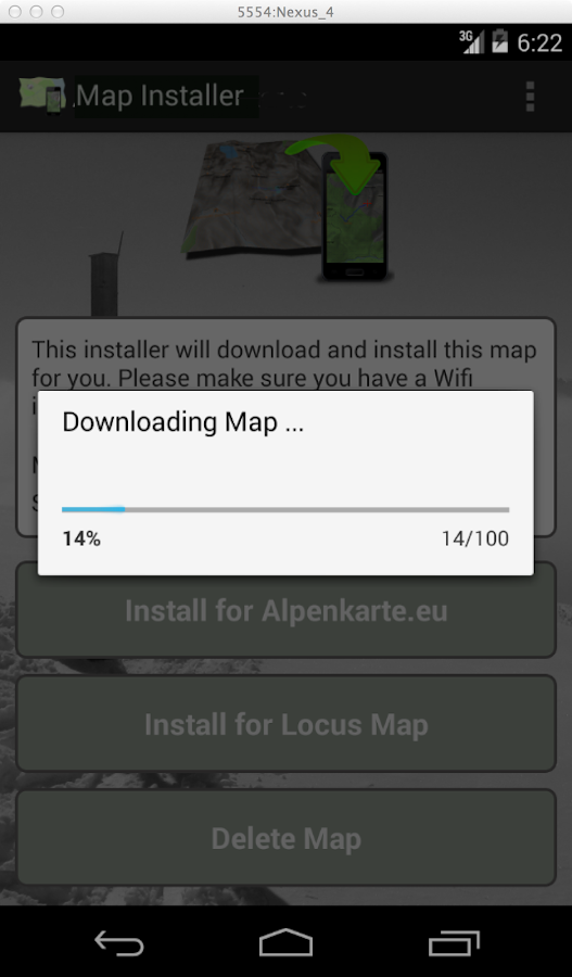
The installer allows you to download and install the map on your Smartphone or Tablet, so that an Internet connection is no longer necessary for its usage.
The usage of the map is supported by any one of the following Apps:- Alpenkarte.eu (http://goo.gl/xyjCro) - Locus Map Free or Pro (http://goo.gl/nqzLZP)
Social Features
Connect and share with friends and the community.
Smart Home
Control and monitor your home with smart features.
Offline Mode
Use the app without an internet connection. Your data syncs when you're back online.
See the LAKE GARDA mountain range map in Action


Get the App Today
Available for Android 8.0 and above